01
LaunchCheck fees
Iowa Hill Bridge
Starting point of the State Parks-described four-mile run. Verify parking and access restrictions.
Whitewater accessShuttle needed
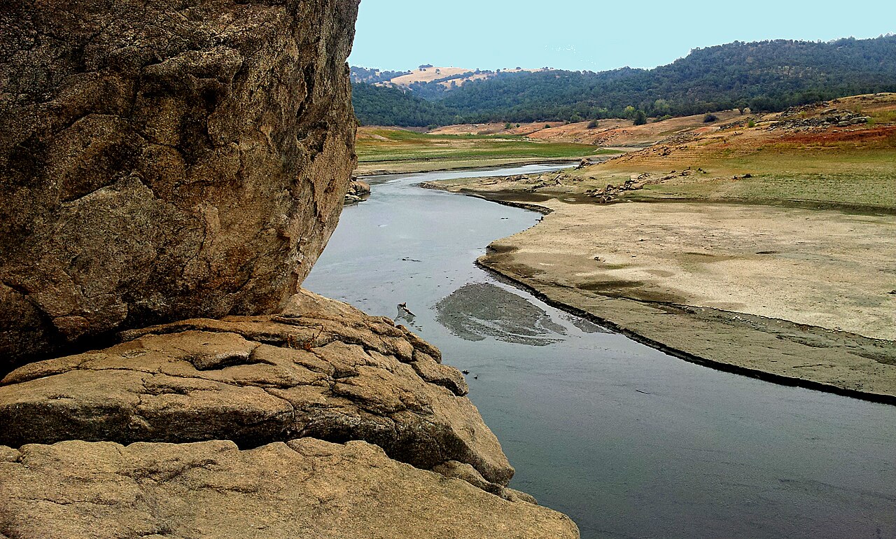
A steep-sided canyon and demanding rapids make this a trip for experienced whitewater paddlers or an appropriate guided group. The North Fork has its own personality: this is not a casual South Fork alternative.
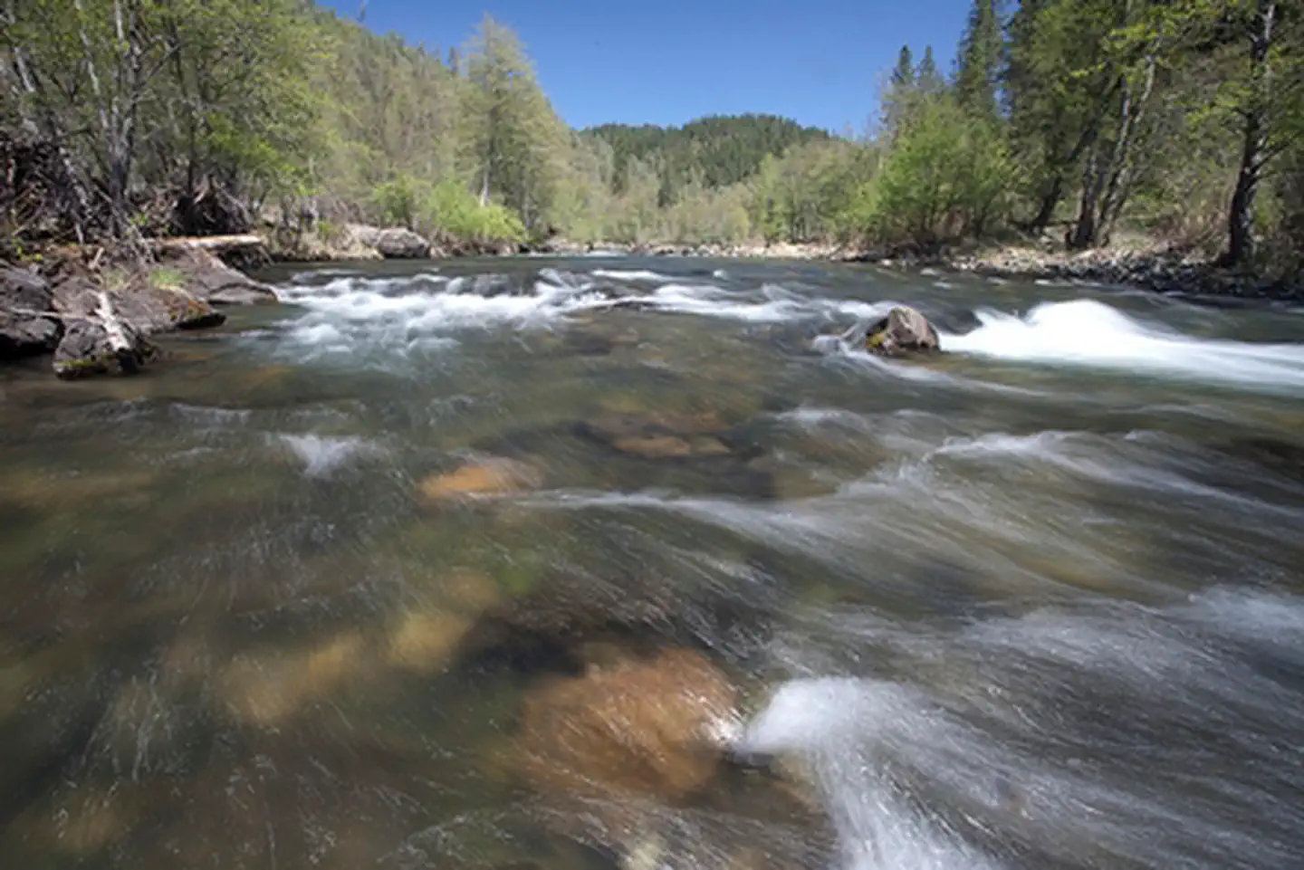
State Parks lists Class IV–V rapids on this run, including Chamberlin Falls. Technical skills, rescue preparation, and exact flow knowledge are essential.
A launch is only half a plan. Know your take-out, your shuttle, and the rules for each place.
2 access points shown
Starting point of the State Parks-described four-mile run. Verify parking and access restrictions.
Exit for the featured run. Establish your shuttle and an unambiguous take-out plan.
Fees, facilities, and access can change. “Check fees” does not mean free. Maps are place searches, not verified turn-by-turn launch directions.
Typical planning window: Spring snowmelt. These are editorial planning notes, not an operating calendar.
Snowmelt is central to planning. The window can be short, and high water can make an already demanding run harder.
Do not assume boatable flows remain. Check with State Parks and an experienced local outfitter.
Plan a canyon visit rather than a guaranteed rafting trip. Access and flows need fresh checks.
Storm-driven water and cold conditions are not a substitute for a suitable spring rafting window.
Explore trips and rentals directly with the operators. Confirm suitability, permits, pricing, cancellation terms, and the exact reach before you book.
These are direct links, not on-site bookings. No affiliate tracking is used in this edition. A listing is not an endorsement or a guarantee of availability.
Guide compiled October 11, 2026. Source pages may contain older material or newer alerts. No live flow or closure feed is connected; the managing agency’s current notices take priority.