01
Launch & take-outCheck fees
Balls Ferry
Developed public boat ramp in the Sacramento River Bend corridor. Choose a downstream exit before launching.
Boat rampRoad access
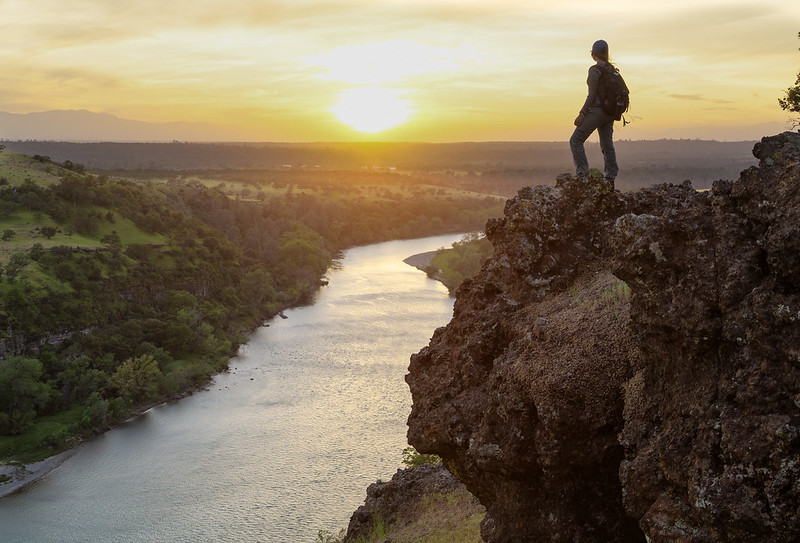
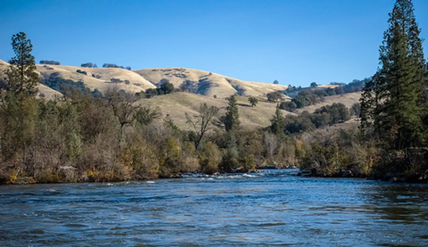
Big skies. Oak-lined bends. A river with room to breathe. Explore the Sacramento between Redding and Red Bluff, where riverside forests give way to open canyon country. Start with one well-planned stretch, not the whole river.
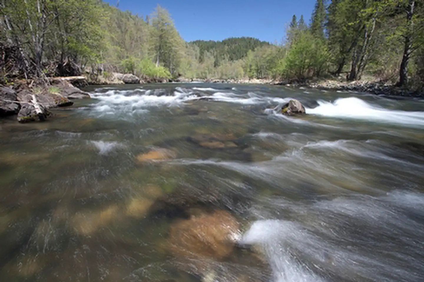
Calm-looking water can hide powerful eddies, cold currents, and submerged trees. State Parks advises Class II boating skills. This guide covers Redding–Red Bluff, not Upper Sacramento whitewater or the Delta.
A launch is only half a plan. Know your take-out, your shuttle, and the rules for each place.
5 access points shown
Developed public boat ramp in the Sacramento River Bend corridor. Choose a downstream exit before launching.
Primitive river access rather than a developed ramp. Check bank conditions and vehicle access with BLM.
Public boat ramp serving the river near Bend. Verify park hours and your shuttle arrangements.
A developed public ramp at the southern end of this featured corridor.
Day-use launch and reservable group camping. Aquatic plants can make the ramp inaccessible in summer.
Fees, facilities, and access can change. “Check fees” does not mean free. Maps are place searches, not verified turn-by-turn launch directions.
Typical planning window: Late spring–early fall. These are editorial planning notes, not an operating calendar.
A landscape waking up. Look for green hills and birdlife from shore; changing flows call for extra planning.
Long days for a thoughtfully planned paddle. Hot air does not mean warm water: expect cold currents.
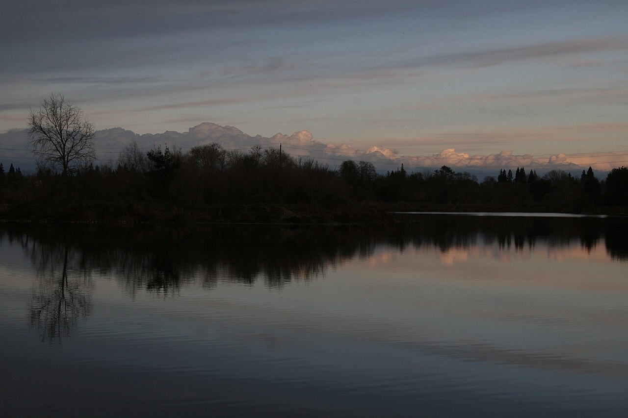
A quieter perspective on the river. September begins the boating guide’s migratory waterfowl viewing window.
A season for shore walks and waterfowl. The guide highlights migration through January; storms can transform boating conditions.
Explore trips and rentals directly with the operators. Confirm suitability, permits, pricing, cancellation terms, and the exact reach before you book.
We would rather leave a gap than send you to the wrong trip. Ask the land manager for current local operator information.
Start with the land managerThese are direct links, not on-site bookings. No affiliate tracking is used in this edition. A listing is not an endorsement or a guarantee of availability.
Guide compiled October 11, 2026. Source pages may contain older material or newer alerts. No live flow or closure feed is connected; the managing agency’s current notices take priority.