We think some of the best days begin with a river. This is a field guide to finding yours.
CALIFORNIA FIRST. MORE BENDS AHEAD.
Not every river. Not just any river.
Rafting the River is an independent directory of river stretches, public access areas, and places to plan a day on the water. We are starting with the Sacramento and nearby California rivers, and building a guide that can grow with our curiosity.
This first edition is a curated starting point, not an exhaustive inventory. We separate individual stretches because one river can contain very different experiences. We would rather show a clear gap than pretend to have information we have not verified.
RIVER RESPONSIBLY
Good days. Good river neighbors.
01
Know the water, not just the weather.
Check flows, releases, access notices, and local forecasts before leaving. A guide’s typical season is not a safety assessment. Choose a permitted professional if you do not have the necessary river skills.
Know your launch, take-out, and shuttle. Arrange appropriate river equipment and a properly fitted life jacket for everyone. Tell someone on shore where you are going. A saved checklist is not a permit or rescue plan.
Pack out your trash, respect wildlife and private property, use designated access, and follow the land manager’s current camping and fire rules. Keep a little space for the people who come after you.
Our starting references are the Bureau of Land Management, California State Parks, the US Forest Service, county parks, Recreation.gov, and operators’ own websites. Direct source links live alongside each river and access point.
Compilation date: October 11, 2026. Source pages can be older than that date and may carry changing or conflicting notices. Always confirm details with the managing agency. No live conditions feed is connected.
Seasonal descriptions and month filters are editorial planning guidance. Prices are not quoted without a booking context. “Check fees” means unknown, not free. External operator listings are not endorsements, availability checks, or bookings. This edition uses no affiliate tracking.
Your plans stay with you.
Saved rivers and your trip checklist use this browser’s local storage. No account, server-side profile, or analytics service is used. Clearing site data removes your saved information. External sites you visit have their own privacy policies.
A little credit for the view.
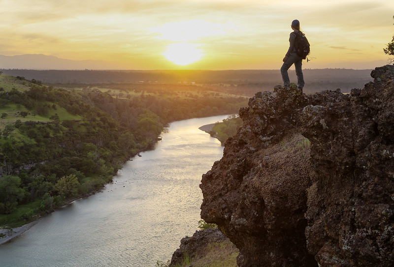
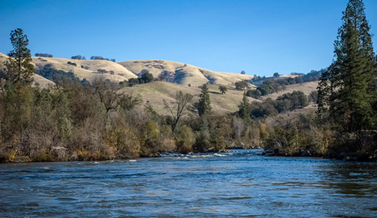
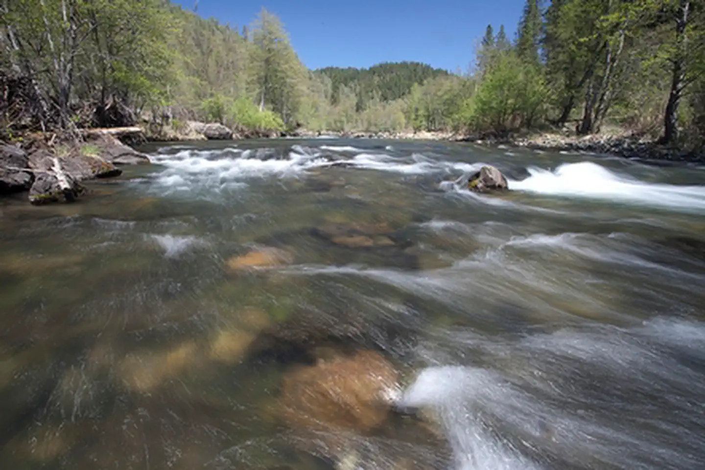
River photography is served locally. The directory identifies each photograph’s source; some guides use clearly labeled regional illustrations rather than a photograph of the exact reach.